
Drone & UAV inspection
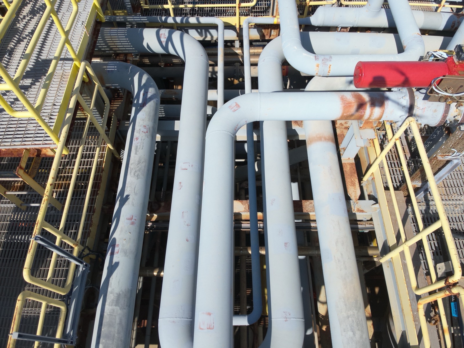
High-resolution aerial surveys, radiometric thermal imaging, drone-mounted NDT, confined-space drones and 3D reality capture. Close visual inspection of offshore and onshore assets from any angle, with no scaffolding and no working at height.
Full coverage without taking the asset offline
A single inspection flight captures detail that would otherwise demand scaffolding, rope teams or a shutdown. Our pilots fly stabilised, sensor-equipped aircraft within arm's reach of the structure, feeding a live downlink to the inspection team so findings are reviewed and re-flown on the spot.
The same platform carries visual, thermal and NDT payloads, so a flare boom, tank roof, underdeck or process structure can be surveyed in one mobilisation, on or offshore, topside or at height, and turned into engineering-grade reporting your integrity team can act on.
One airframe, every payload
Visual, thermal, NDT and internal-flight capability under one team, matched to the asset rather than the other way round.
External visual inspection
General and close visual inspection (GVI/CVI) of structures, tanks, topsides and members from every angle, with zoom-capable optics resolving fine detail from a safe stand-off.
Thermal & FLIR imaging
Radiometric thermography to find insulation breakdown, refractory hot spots, electrical faults, blockages, leaks and moisture ingress, captured live, alongside the visual survey.
Drone-mounted NDT
UT wall-thickness and EMAT flown to the inspection point, readings on live, elevated or hard-to-reach surfaces with no access structure.
Confined-space & internal drones
Collision-tolerant drones fly the inside of tanks, vessels, caissons, flare stacks and ducting, internal condition captured with no entry permit, no scaffold and no one in the void.
Underwater & splash-zone ROV
Remotely operated vehicles extend the survey below the waterline, splash-zone members, risers, caissons, hulls and subsea structure inspected without dive spreads.
Robotic crawlers
Magnetic-wheel crawlers carry cameras and UT probes across tank floors, shell plate, decks and bulkheads, automated coverage of large steel surfaces, hands-free.
 3D reality capture
From point cloud to digital twin
Terrestrial and aerial LiDAR turn a structure into a high-resolution point cloud, a permanent, measurable record you can interrogate long after the team has demobilised.
- As-built models for fit-up and dimensional control
- Tank-shell deformation to API 653, settlement, ovality and out-of-roundness
- Digital twins for engineering, planning and remote review
- Volumetric & deflection monitoring across repeat campaigns
What that looks like on site
Live flare inspection, zero shutdown
An operating flare tip and boom surveyed by UAV while the system stayed lit, close visual and thermal capture of the tip, pilots and structure with no production deferral and no flare-down.
Storage terminal, surveyed from the air
External shell and roof survey of a multi-tank terminal combining visual and thermal flights, full coverage captured in a fraction of the time a rope or scaffold campaign would take, with no tank entry.
Pair it with the right access
Put eyes on it from the air
Tell us about the asset and the scope. We'll come back with a methodology, mobilisation plan and indicative timeline.